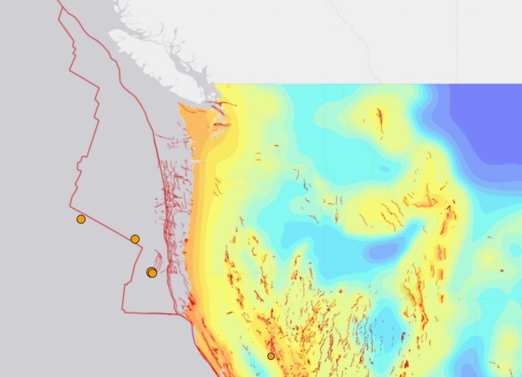
[size=16]Recent Earthquakes Near Puerto Rico:18 earthquakes in the past 24 hours 95 earthquakes in the past 7 days 373 earthquakes in the past 30 days [/size]
Recent Earthquakes Near Puerto RicoSorted: Recent
Filter By Magnitude
Nearby Places
Puerto Rico has had: [size=14](M1.5 or greater)[/size]
- 19 earthquakes in the past 24 hours
- 95 earthquakes in the past 7 days
- 375 earthquakes in the past 30 days
- 3,454 earthquakes in the past 365 days
The largest earthquake in Puerto Rico:
- today: 5.1 in Guánica, Guanica, Puerto Rico
- this week: 5.1 in Guánica, Guanica, Puerto Rico
- this month: 5.1 in Guánica, Guanica, Puerto Rico
- this year: 6.0 in San Antonio, Aguadilla, Puerto Rico
Sorted: Recent
Filter By Magnitude
Nearby Places
+
-
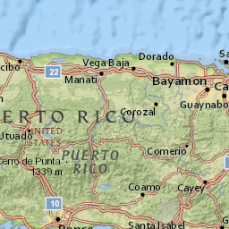
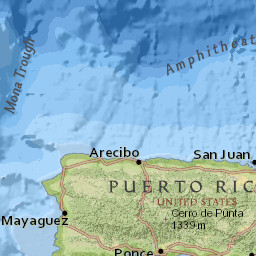
20 km
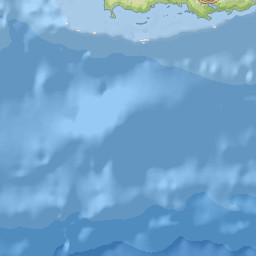
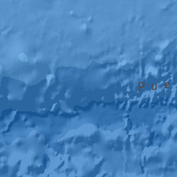
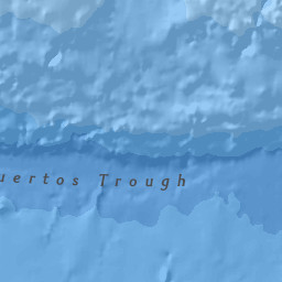
10 miMap data: National Geographic, Esri,... | Powered by Esri19 minutes ago 5.1 magnitude, 2 km depth
Guánica, Guanica, Puerto Rico
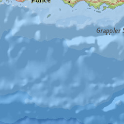
about 4 hours ago 2.8 magnitude, 8 km depth
Ponce, Ponce, Puerto Rico
about 6 hours ago 2.7 magnitude, 12 km depth
Ponce, Ponce, Puerto Rico
about 8 hours ago 2.2 magnitude, 27 km depth
La Parguera, Lajas, Puerto Rico
about 9 hours ago 2.4 magnitude, 11 km depth
Ponce, Ponce, Puerto Rico
about 10 hours ago 2.1 magnitude, 8 km depth
Ponce, Ponce, Puerto Rico
about 10 hours ago 2.0 magnitude, 7 km depth
Potala Pastillo, Juana Diaz, Puerto Rico
about 10 hours ago 2.7 magnitude, 11 km depth
Ponce, Ponce, Puerto Rico
about 11 hours ago 2.6 magnitude, 11 km depth
Ponce, Ponce, Puerto Rico
about 12 hours ago 1.6 magnitude, 19 km depth
San Germán, San German, Puerto Rico
Sorted: Recent
Filter By Magnitude
Nearby Places
+
-
50 km
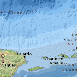
30 miMap data: National Geographic, Esri,... | Powered by Esriabout 12 hours ago 2.8 magnitude, 34 km depth
Carrizales, Hatillo, Puerto Rico
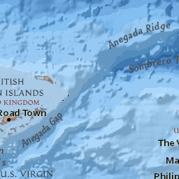
about 12 hours ago 3.7 magnitude, 49 km depth
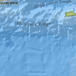
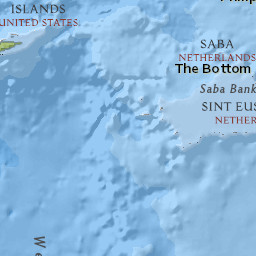
Tortola, British Virgin Islands
about 14 hours ago 2.9 magnitude, 15 km depth
Luquillo, Luquillo, Puerto Rico
about 16 hours ago 4.4 magnitude, 17 km depth
Culebra, Culebra, Puerto Rico
about 17 hours ago 2.2 magnitude, 23 km depth
Palmarejo, Lajas, Puerto Rico
about 18 hours ago 3.2 magnitude, 14 km depth
Carrizales, Hatillo, Puerto Rico
about 21 hours ago 2.1 magnitude, 10 km depth
Potala Pastillo, Juana Diaz, Puerto Rico
about 23 hours ago 2.1 magnitude, 36 km depth
Hatillo, Hatillo, Puerto Rico
about 23 hours ago 2.7 magnitude, 5 km depth
Jauca, Santa Isabel Municipio, Puerto Rico
a day ago 2.1 magnitude, 20 km depth
Hatillo, Hatillo, Puerto Rico
Sorted: Recent
Filter By Magnitude
Nearby Places
+
-
50 km
30 miMap data: National Geographic, Esri,... | Powered by Esria day ago 2.4 magnitude, 16 km depth
Aguilita, Juana Diaz, Puerto Rico
a day ago 2.1 magnitude, 9 km depth
Ponce, Ponce, Puerto Rico
a day ago 2.3 magnitude, 11 km depth
Ponce, Ponce, Puerto Rico
a day ago 2.6 magnitude, 12 km depth
Ponce, Ponce, Puerto Rico
a day ago 2.9 magnitude, 14 km depth
San Antonio, Aguadilla, Puerto Rico
a day ago 3.1 magnitude, 44 km depth
San Antonio, Aguadilla, Puerto Rico
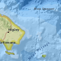
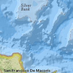
2 days ago 3.6 magnitude, 44 km depth
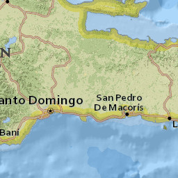
Boca de Yuma, La Altagracia, Dominican Republic
2 days ago 2.3 magnitude, 8 km depth
Salinas, Salinas, Puerto Rico
2 days ago 2.3 magnitude, 74 km depth
Guayanilla, Guayanilla, Puerto Rico
2 days ago 2.8 magnitude, 49 km depth
Punta Cana, La Altagracia, Dominican Republic